 |
State
College Region
|
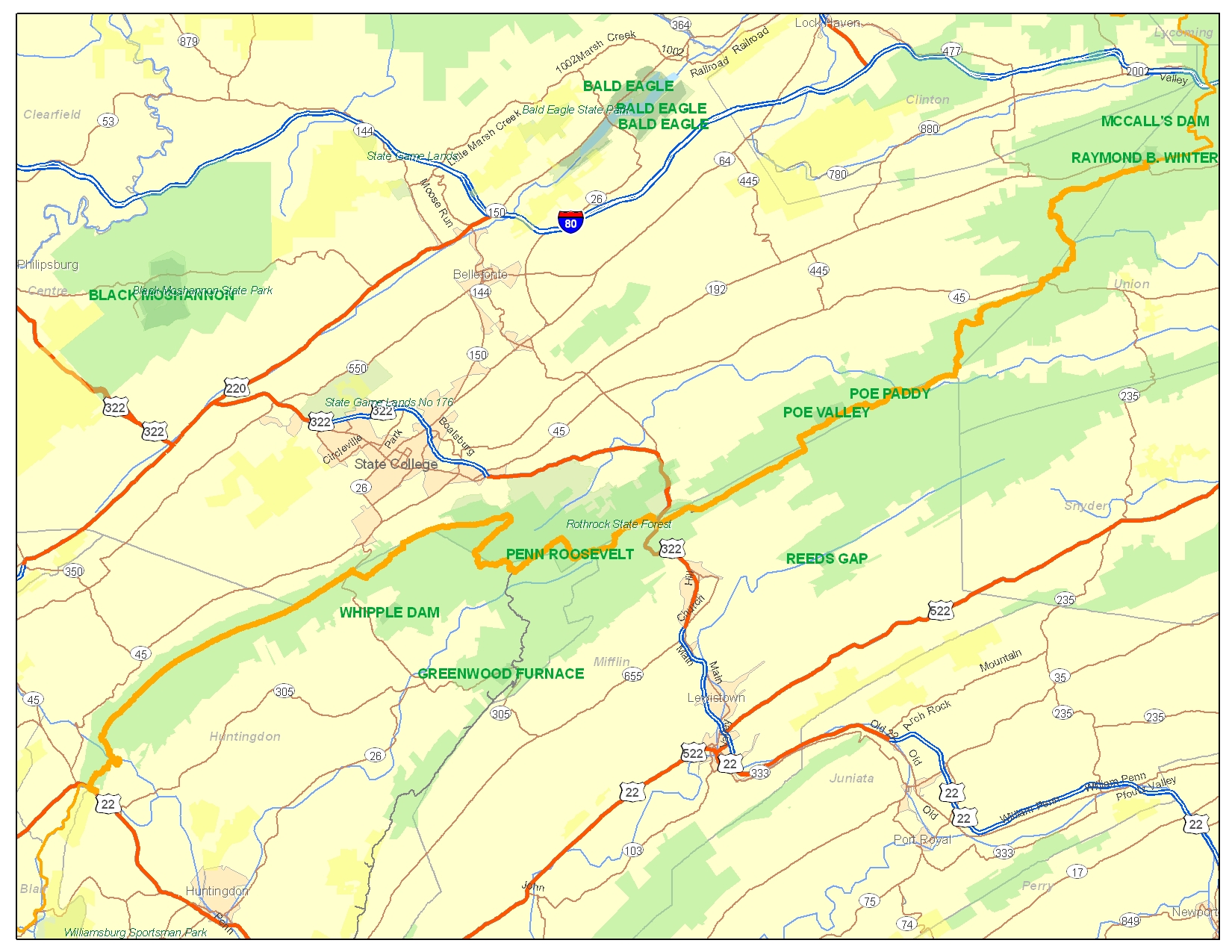
Beautiful views and amazing natural features mark State College Region. Although the trail's heart is the most popular Region of MST, if you hike alone you still will probably encounter more bears than people.
Click for State College Region Hiking Maps
A monument (erected 2003) marks MST's 1969 birthplace near Little Flat Fire Tower. Volunteers of Penn State Outing Club, and many others led by MST's Founder, Tom Thwaites, headed out of town up Tussey Mountain to clear trail over the rocky ridgetop as MST grew in both directions through the "Seven Mountains."
Financial shenanigans in Penn State student government in 1982 led to the formation of Mid State Trail Association as an independent organization, to guide MST's continued growth and secure its future.
MST in this Region passes Rothrock and Bald Eagle State Forests; Penn Roosevelt, Poe Valley, Poe Paddy State Parks; and Alan Seeger and Detweiler Run Natural Areas through Huntingdon, Centre, Mifflin, and Union Counties.
MST has moved away from the reopened Little Flat access road. Preliminary planning has begun for a new crossing of Little Juniata River in Pennsylvania's largest roadless mountain gap.
Click for Trail Alerts and Guide Updates
Tom Thwaites and Kevin Busko, State College Regional Managers, can be reached at statecollege@hike-mst.org 814 237-7703 (Tom) or 814-643-4238 (Kevin)